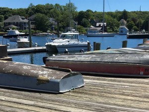
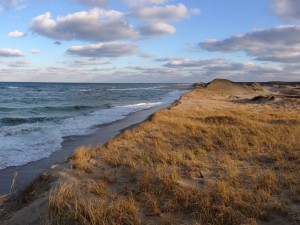
Cape Cod has a history of moving or modifying buildings to adapt to its changing coastline, especially those buildings designed to be close to the water’s edge. However, rising flood waters and sea level rise are impacting increasing numbers of properties on Cape Cod. As the pace of change increases and more buildings are impacted, the need for guidance that is specific to the character of Cape Cod’s communities has grown.
 Supported by funding from the US Economic Development Administration, these guidelines were developed to review the main strategies available for reducing or eliminating hazards from sea level rise and storm surge to life and the built environment while also protecting the region’s distinctive character and historic resources, both in the short term and the long term.
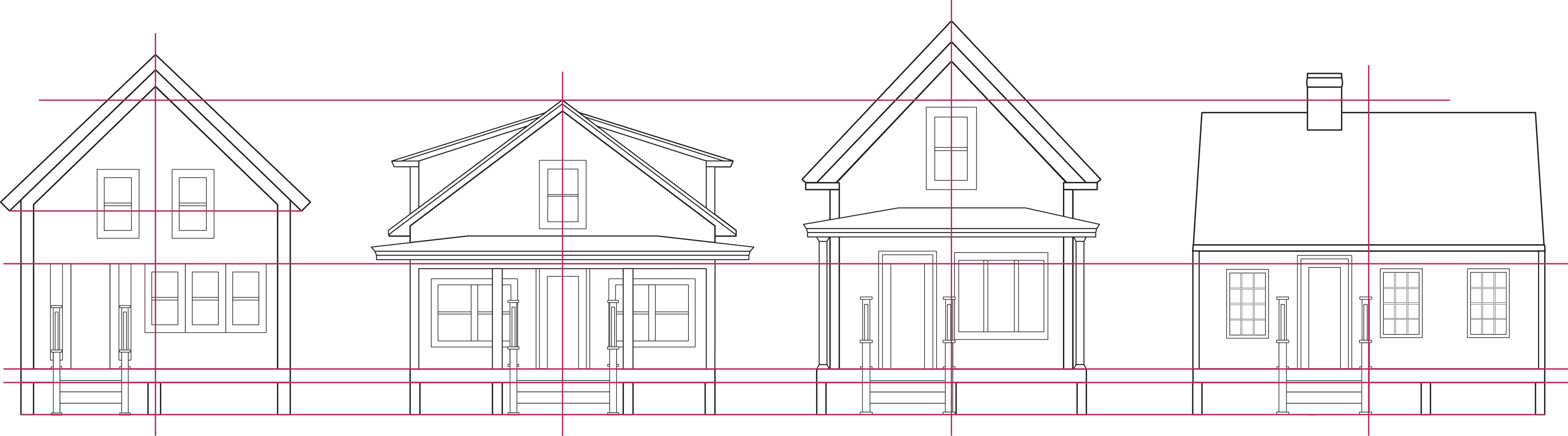
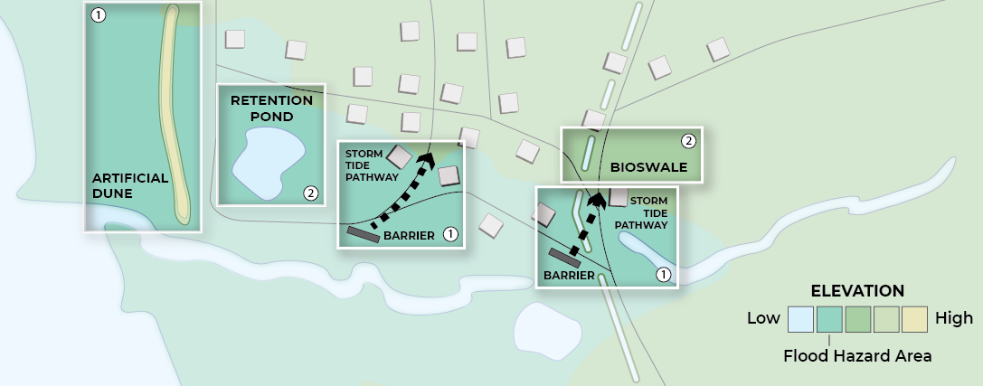 The guidelines examine building retrofit, relocation, and elevation, as well as neighborhood and site strategies such as barriers and floodwater parks. Throughout the document, text boxes highlight special considerations for historic structures. The guide also includes Context Case Studies that recommend appropriate designs for unique neighborhood types and specific building types, taking sustainability and possible sea level rise projections into account.