The Cape Cod Commission is supporting the Town of Falmouth in developing a wayfinding plan for the downtown area. The plan will produce wayfinding signage recommendations for both physical signs as well as possible technological options. The signage plan will facilitate improved movement for motorists, transit users, pedestrians, and bicyclists in downtown Falmouth by providing signage to show clear routes to places of interest, and will complement a parking management plan the Town is also currently developing.
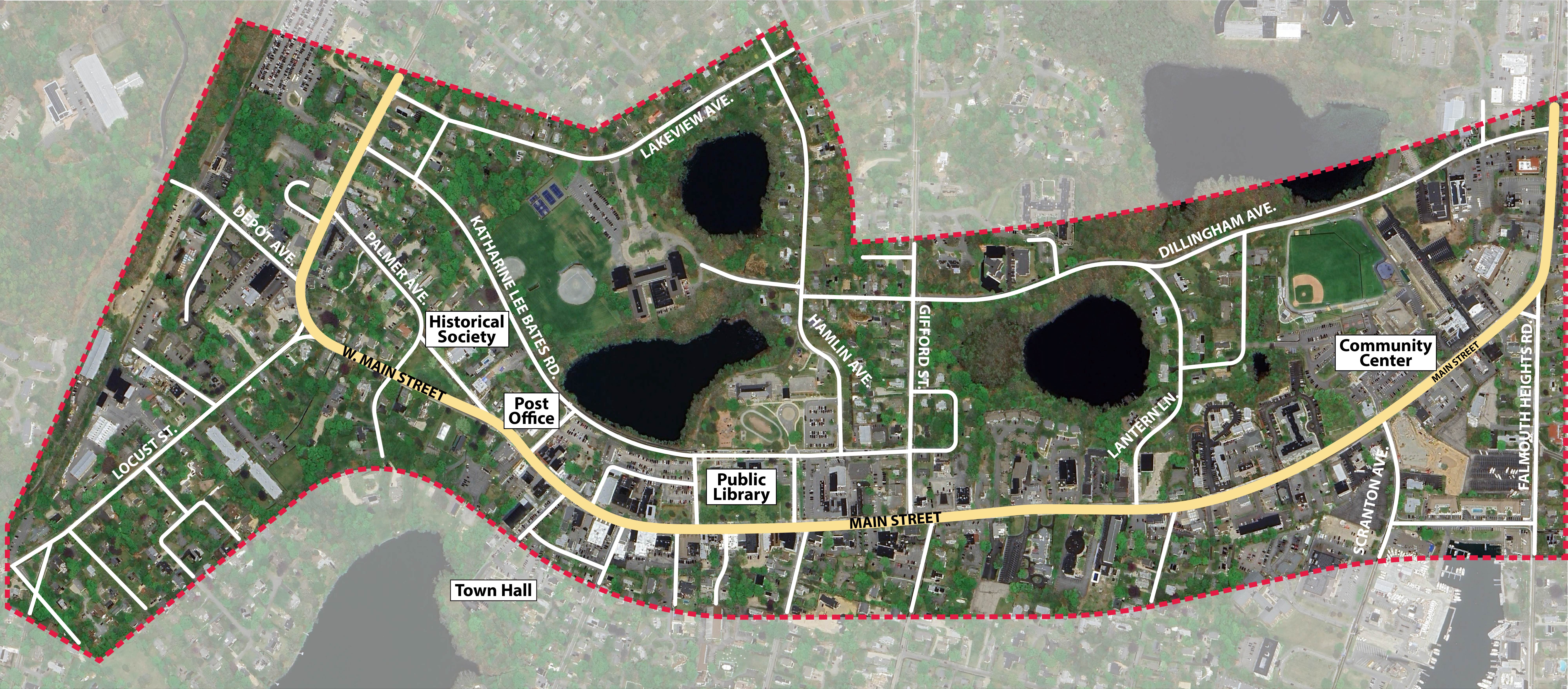
Study Area
The wayfinding plan study area, shown below, encompasses the Main Street area from the intersection with Palmer Ave to the intersection with Davis Straits, and a little bit to the north and south on both ends.
Public Survey
To aid in developing both the parking management plan and the wayfinding plan, a public survey was conducted. The survey asked for respondents' thoughts on quantity, location, placement, and possible improvements for parking and wayfinding elements in the study area.
Existing Signage Inventory
As a baseline for recommendations for the wayfinding plan, Commission staff inventoried existing public signage and wayfinding elements in the study area. The map below, also available in full screen here, provides information about each of the inventoried signs including its condition, its purpose, material, location, and a photograph of it. Click on a dot on the map to see more information about that sign.
