Studying non-motorist trends near the Canal bridges
New and improved data tracking users on the Cape Cod Canal bike paths is now available.
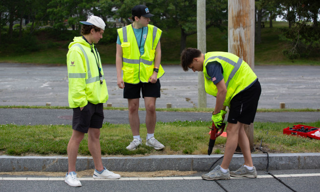
This summer, Commission staff, in coordination with the Army Corps of Engineers, conducted increased data collection along the trails that flank the canal using infrared counters. The Commission has collected data along the paths for many years, but this was the first time that eco-counters were used for long-term counts.
Counters were in place from late April through October, collecting information on a near-daily basis. Two counters were placed on both sides of the Canal: at the Sandwich and Sagamore recreation areas and the Buzzards Bay and Bourne recreation areas.
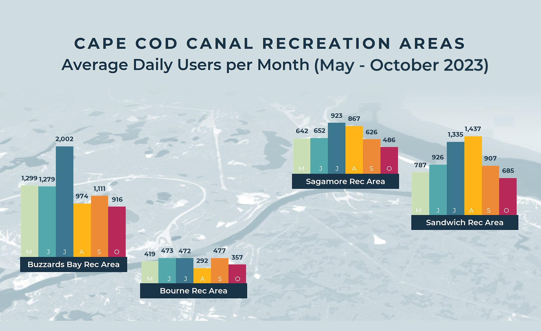
More than 600 daily users were logged along the canal paths from June through August, with more than 900 average daily users in July and August in Sagamore and more than 1,300 average daily users in August and September in Sandwich. Buzzards Bay tracked the most users, with a peak of more than 2,000 average daily users in July. The Bourne location was the quietest, with an average of about 400 daily users tracked in May, June, and July.
Commission staff shared the data with the Massachusetts Department of Transportation’s Canal Bridge Program Team. Design plans for replacing the Bourne and Sagamore bridges include bicycle and pedestrian accommodations. Information on the number of people walking and biking around the Canal Area can help inform future designs and confirm the necessity of non-motorist accommodations on the new bridges.
Related Posts