Regional tax analysis to inform future land use and policy decisions
With approximately 86% of Cape Cod’s land area already developed or protected, it is essential for the region to focus growth and development within areas that have adequate infrastructure and away from areas with sensitive resources. To inform future land use and public policy decisions, Cape Cod and its municipalities must understand the economic effects of current development patterns, as well as analyze the fiscal implications of alternative development approaches.
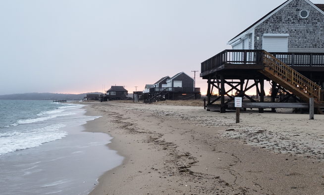
Many of Cape Cod’s most sensitive areas are found along the shoreline and coastal zones. Although these locations are among the most desirable and expensive on the Cape, they are also highly vulnerable to flooding from coastal storms—a risk that will increase as sea levels rise and the climate changes. These valuable properties make up a significant share of the region’s tax base: 19% of Cape Cod lies within the FEMA Special Flood Hazard Area, accounting for over $38 billion in assessed property value.
As Cape Cod faces a future shaped by changing weather, rising sea levels, and increasingly severe storm events, its limited land area and sprawling development patterns demand new approaches to land use policy and community design. To address these challenges, the Cape Cod Commission has contracted with Urban3, a firm that specializes in analyzing land use and economic productivity to help communities understand the financial impact of their development patterns. Urban3 will conduct two analyses: one to better understand how tax revenue varies across the region by development pattern and building typology, and another to examine the impacts of sea level rise and flooding on the tax base.
Using parcel and assessor data from each town, the study will evaluate land value, tax value, value per acre, and other factors to better understand how different development patterns contribute to local tax bases.
It will explore how projected sea level rise and coastal flooding could affect property values and municipal revenues over time using projections from the Massachusetts Coast Flood Risk Model. The work will estimate potential changes in property value and the resulting impacts on tax revenues under future flood scenarios.
Together, the analyses will provide communities with new insights into the relationships between development patterns, climate risk, and municipal finances. The work will also help identify opportunities to support future growth in areas with existing infrastructure, such as Community Activity Centers - compact, walkable areas identified in the Cape Cod Regional Policy Plan as appropriate locations for development and redevelopment.
By better understanding these dynamics, the Commission and Cape Cod’s communities can continue working toward land use and planning decisions that support both the region’s environmental resources and its long-term economic resilience.
Related Posts