Making Falmouth’s Davis Straits stand out
The Town of Falmouth requested assistance from the Cape Cod Commission to offer ways to make the Davis Straits area stand out from the crowd.
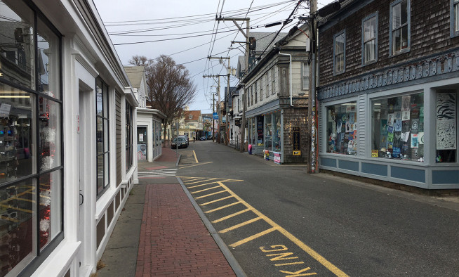
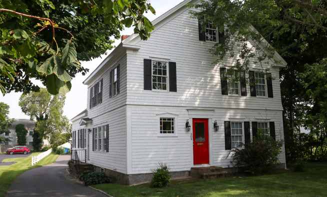
This section of Route 28 between Scranton Avenue and Jones Road is unique because it retains both an area of residential scale buildings as well as commercial plazas that have significant redevelopment potential. The area has experienced an increase in redevelopment interest in recent years and is believed to be ripe for change.
While existing zoning treats this area the same as other corridor commercial areas in Falmouth, the town sought options to give this segment of Route 28 a unique identity to differentiate it.
The Davis Straits project builds off the work of the Spring Bars Road planning study, concluded by the Commission in October 2013. The Falmouth Planning Board and Board of Selectmen chose to pursue several recommendations from that study. Commission staff met with the planning board in public sessions as part of the study, most recently in early March to discuss the final draft.
Changes in zoning district boundaries, allowed uses, building scale, building setbacks, and parking location are all ways in which development in Davis Straits could be guided to support the town’s goals of greater variety, improved community vitality and economic development outside of the downtown area.
The recommendation to move toward a “form-based” zoning approach drew several questions and comments. A form-based code relies on the design and scale of the building, rather than its underlying use, as its guiding principle.
Commission Chief Planner Sharon Rooney exposed that form-based codes are about defining the box and letting the developer figure out how to carve it out in a more market driven approach. Form-based codes do consider use of properties, but as secondary to design.
The report details existing conditions, constraints and more immediate opportunities for the town to consider. Recommendations cover land use, transportation housing and other considerations. It also provides a historical perspective on the area and how it grew since the mid-20th century.
Details of the development pattern aren’t surprising, but put numbers against what’s generally understood. The dominant single industry in the study area is retail followed by accommodations/food service. These represent over 35% of the businesses, just under half of commercial square footage, 51% of jobs and almost two thirds of documented sales.
The area’s ownership mix is also dominated by non-local businesses, which retain fewer local earnings on-Cape. The study notes that the heavy dependence on retail and food service businesses in both Davis Straits and the Village Center, there’s an uneven competition between small, locally owned businesses downtown and well-known, well-funded national retailers in Davis Straits.
Davis Straits and the Village Center both depend heavily on retail and food service businesses. This sets up an uneven competition between the small, locally owned businesses downtown and the well-known, well-funded national retailers in Davis Straits.
The business mix in Davis Straits provides job opportunities that are primarily offer wages below the local cost of living.
The study includes a conceptual redevelopment prepared by Commission staff that divides the study area into five distinct character areas with a proposed hierarchy of streets and ways to help define them.
Among its advantages is Davis Straits’ connection to town sewer, which means development is not constrained by Title 5 septic system requirements. However, Davis Straits is also located within the Little Pond watershed, a nitrogen-overloaded embayment. Consideration for nitrogen management and water quality in Little Pond should be a major goal.
Without some of the typical development constraint, such as wastewater management, planners are able to consider higher concentrations of both business and residential uses.
In most cases, the nature and scale of the businesses in Davis Straits do not require low development density or even auto-oriented infrastructure to function. That means changes to this area need not crowd existing businesses, and could boost per-acre tax revenue and sales volumes.
At the request of the town, the report takes a creative long view of the area, offering scenarios to create green belts utilizing existing developed parcels. If the Falmouth Mall relocated out of the flood zone several decades from now, what might that area become? A similar look at greenway opportunities around the existing community center and athletic fields
The Commission engaged the town and stakeholders in several meetings to develop an understanding of what was desired for the area. Stakeholders expressed the hope that this area might provide employment and housing opportunities for young families and middle income households. Similarly, they hoped the retail mix would provide goods and services needed by year-round middle income residents.
With the goal of diversifying the local economy and providing higher-wage jobs, the stakeholders suggested reviewing zoning requirements and permitting processes to identify changes that could entice high-wage high-skill employers to locate in the Davis Straits Area.
The final report is available on the Commission Website, www.capecodcommission.org/DavisStraits
OVERALL VISION
The Davis Straits area will be a comfortable place for residents to live, work, and shop, characterized by:
- Pedestrian scale development
- A variety of commercial and housing types and sizes
- An affordable mix of commercial space, residential options, and goods and services
- Safe roadways with pedestrian and bike amenities, reduced visual clutter and curb cuts, and increased tree cover and landscaping.


