Low-Lying Roads Project seeks to enhance community resiliency
Working with Cape Cod towns to identify critical infrastructure vulnerabilities
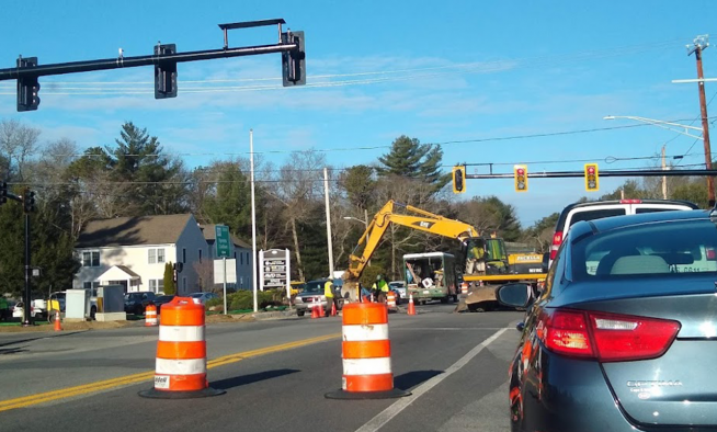
Climate change hazards such as inland flooding, sea level rise, erosion, and severe storms are threatening many of Cape Cod’s roadways. Potential damage could cut off critical access to homes, buildings, infrastructure, and critical facilities.
Low-lying roadways have been identified as vulnerabilities through the Municipal Vulnerability Preparedness Plan process, hazard mitigation planning process, and through the Climate Action Plan stakeholder process. Consistent with recommendations of the Climate Action Plan, the Cape Cod Commission is working with ten Cape Cod towns to examine vulnerabilities in the roadway network and to identify solutions.
With funding support from the U.S. Economic Development Administration (EDA) and the Massachusetts Municipal Vulnerability Preparedness (MVP) program, the Commission has contracted with the Woods Hole Group (WHG) to conduct a vulnerability assessment of roadway segments, bridges, and culverts due to flooding from the combined effects of sea level rise and storm surge. WHG will employ the state-of-the-art Massachusetts Coast Flood Risk Model (MC FRM) to identify vulnerable road segments under different sea level rise scenarios and time scales.
This data-driven process is designed to identify vulnerabilities, provide information, and determine the level of risk. While the data collected provides important insight into the vulnerable areas in each town, information from the community is vital to understanding the needs of the people who use these roadways every day. Residents can provide key information about vulnerable populations and areas that may need special consideration.
The public process portion of the project is now underway. The Town of Orleans hosted the first virtual public workshop on Tuesday, November 16. The workshops will provide an understanding of coastal climate hazards, review flood projections and impacts on roadways for the town under future scenarios, and discuss priority vulnerable low-lying roads or other transportation infrastructure. Through the public meeting process, communities will prioritize the most critical road segments for the development of alternative solutions for sea level rise and storm surge adaptation.
Each town will receive three conceptual designs for alternative solutions and estimated costs for two roadway segments. The designs delivered should provide communities with enough information to choose a solution and seek funding for implementation.
For further information on the project and for a schedule of upcoming meetings, please visit https://capecodcommission.org/our-work/low-lying-roads-project/
Related Posts