Designing and Regulating for Resiliency
Cape Cod is increasingly vulnerable to the effects of sea level rise and storm surge and must prepare for the impact of more frequent and stronger storms. The Cape Cod Commission’s work includes tools and strategies to adapt to sea level rise and to increase the resilience of built, natural, and community systems.
Increasing the region’s resilience by identifying vulnerable areas and infrastructure, designing appropriate solutions that complement the local context, and developing new regulatory tools promotes the protection of our natural and built environments. On October 6, Commission staff presented three projects intended to promote a more resilient region at the Southern New England American Planning Association conference in New Haven, Connecticut.
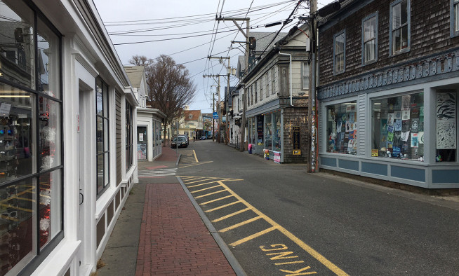
Protecting our region’s low-lying roads
Sea level rise, storm surge, and flooding can impact Cape Cod’s roadways, cutting off access to critical areas and services. The Commission’s low-lying roads project examines vulnerabilities in the Cape’s roadway network due to climate change and identifies potential roadway adaptation solutions. Commission staff are working with each of the Cape’s 15 towns to prioritize roads most vulnerable to the impacts of climate change and identify adaptation solutions, conceptual designs, and estimated costs for the most critical road segments in each town.
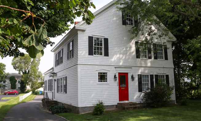
Designing for resiliency and community character
Thousands of buildings on Cape Cod will be impacted by increased flooding, including nearly 2,000 historic structures within the floodplain. The newly released Flood Area Design Guidelines include strategies for reducing or eliminating hazards to homes and buildings from sea level rise and storm surge while protecting the region’s distinctive character and historic resources in the short and long term.
The guidelines examine building retrofit, relocation, and elevation, as well as neighborhood and site strategies such as barriers and floodwater parks. Throughout the document, text boxes highlight special considerations for historic structures. The guide also includes Context Case Studies that recommend appropriate designs for unique neighborhood types and specific building types, considering sustainability and possible sea level rise projections.
Regulating for resiliency
The Commission is currently working to develop model wetland regulations and a model zoning bylaw with identified strategies to mitigate and adapt to coastal changes. The Regulatory Tools for Development in the Floodplain project builds on a previously developed coastal resiliency bylaw that promotes natural resource migration and reduces risk to the built environment. When complete, this suite of regulations will help towns protect coastal resource areas now and in the future.
Together, these projects, and the tools and resources developed, can support local planning and preparation to help our region withstand the impacts of sea level rise, storm surge, and flooding into the future.