Commission GIS Team Showcases Innovation at Regional Conference
Hundreds of Geographic Information Systems (GIS) professionals gathered in Falmouth this week for the annual Northeast Arc Users Group fall conference, an event designed to build connections and advance professional growth. The Cape Cod Commission was well represented, with staff showcasing how GIS technology supports planning, environmental stewardship, and storytelling across the region.
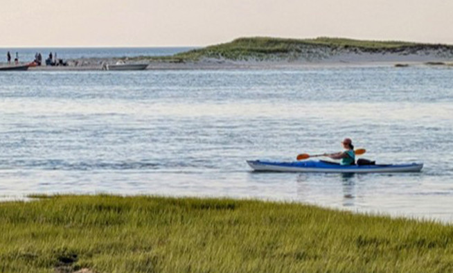
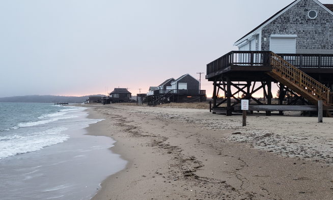
The Cape Cod Commission helps the region make sense of data through maps and technology. By collecting, analyzing, and visualizing geographic information, the team turns complex data into clear insights that guide local planning and decision-making. Recent projects include developing interactive web maps and data portals for the Cape Cod Freshwater Initiative, creating visualizations to support climate resilience and coastal planning, and maintaining regional data layers that inform transportation, water quality, and land use studies.
During the conference, Commission Water Resources Analyst Tara Lewis and GIS Analyst Deb Ricotta presented "The Role of GIS in Cape Cod's Freshwater Initiative: A Data-Driven Approach to Protecting Cape Cod's Ponds and Lakes." Their talk highlighted how GIS technology supports pond health assessment, restoration planning, and community engagement across the region's 890 freshwater ponds and lakes. Building on the 2021 Cape Cod Pond and Lake Atlas, the team demonstrated how GIS tools such as the Water Quality Data Portal, Pond Atlas Data Viewer, and Restoration Strategies Viewer make complex data accessible and actionable. They also re-introduced the Local Stories application, inviting residents to share their experiences and connecting those stories to place-based data. The tool illustrates how GIS helps bridge science, planning, and public outreach in protecting vital natural resources.
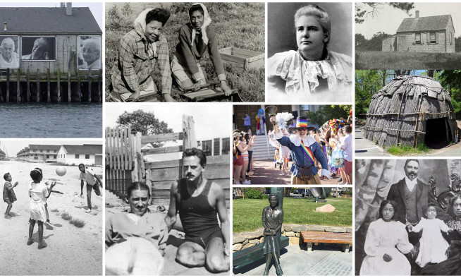
Commission staff also presented the Under-Represented Histories StoryMap, a project that uses GIS to elevate and connect local preservation efforts across Cape Cod. Organized around five themes representing historically underrepresented groups, the StoryMap compiles research and stories from museums, historians, and preservation organizations into one interactive platform. By using GIS as a tool for public storytelling, the project promotes awareness, engagement, and a more inclusive understanding of Cape Cod's history.
Finally, the NEARC Users Group honored Commission GIS Director Anne Reynolds with the Peter S. Thacher Award. The award recognizes individuals who have demonstrated commitment and excellence in using GIS technology to achieve success in natural resource management and conservation at the local level.
Anne joined the Cape Cod Commission in 2005 as a GIS Analyst, was promoted to GIS Manager in 2008, and has served as GIS Director since 2013. Over nearly two decades at the Commission, Anne has helped shape how Cape Cod's communities visualize their environment, plan for the future, and connect through data.
Related Posts