Cape groundwater levels exceeding record high levels for March
With rainfall 30 percent higher than expected over the past six months, groundwater levels across the region are reaching record levels for March and are expected to keep rising.
“Water table levels are 2 to 3 feet higher now than January readings,” said Cape Cod Commission Water Resources Director Tom Cambareri. “Historically, the aquifer will continue to rise until May and June.”
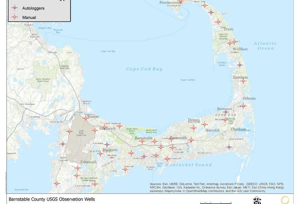
Barnstable and Brewster observation wells are at record levels for the month of March. Chatham, Truro and Bourne readings are in the 90th percentile and Wellfleet and Sandwich the 80th percentile, according to latest readings in the Cape Cod Observation Well Network.
The recent wet weather was preceded by a somewhat cooler and wet summer, which contributed more recharge to the aquifer during the fall when water levels typically recede. The stabilized water levels began to prematurely increase in early winter and are approaching record monthly levels.
In February the Cape received double the anticipated precipitation, or 7.3 inches more than expected.
“Because all of the Cape’s water resources are connected to our Sole Source Aquifer, the Cape’s ponds are approaching record high levels and our streams and creek are flowing higher and faster,” Cambareri said.
An increasing number of calls are being fielded by the Commission’s water resources office from local officials, septic installers and homeowners about the high-water levels.
High groundwater levels and moist soil contribute to the less stable conditions for tree roots that have been hit hard by recent nor’easters. It also makes it challenging for storm drainage systems to process runoff resulting in flooded conditions.
Commission staff measures water table levels at specific observation wells across the Cape from Falmouth to Provincetown monthly. Readings from several of the wells go back more than 60 years.
Regional and accessible water level information is essential to all phases of Cape Cod water resources management. The monthly water level data is required to calculate high groundwater conditions for engineering design of septic systems; evaluate the impacts of permitted water withdrawals on surface water dependent ecosystems; provide indexed thresholds for drought management, design and select locations for major groundwater discharge permits for wastewater management and calibration data for regional and local groundwater modeling investigations.
Related Posts