Overview
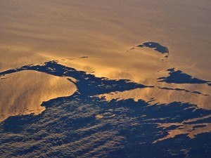
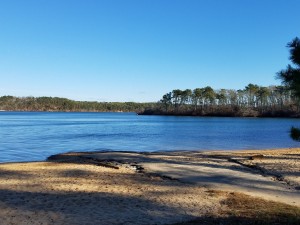
Viewed from above, the Cape Cod peninsula barely rises above the sea surface, the green punctuated by hundreds of freshwater ponds and lakes. Geologically, these ponds and lakes are a product of glacial movement; depressions left in the land surface that filled with groundwater after the glaciers retreated. Ponds sit within the Cape’s watersheds and are connected to groundwater where their basins intersect the water table. The sand and gravel deposited throughout the region during glacial retreat make up the majority of the subsurface, a highly permeable geology that is both productive as a water supply and vulnerable to contamination.
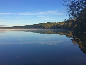
Ponds and lakes are important parts of the Cape Cod landscape, providing habitat for a diversity of aquatic flora and fauna. Good water quality is vital for the aquatic life a balanced pond ecosystem supports, and the many environmental services a pond provides. However, pond health and water quality have been negatively impacted and continue to be threatened. While ponds undergo natural changes in nutrient cycling, plant productivity, and water levels over time, the historical increase in population on Cape Cod and intensification of human activities in and around ponds have expanded and accelerated threats to pond health.
Cape Cod’s ponds and lakes are fragile. The Commission’s 2003 Pond and Lake Atlas, as well as town-wide and pond specific assessments, identified that most Cape ponds were impaired and not meeting state regulatory surface water standards. The most recent State of the Waters Report from the Association to Preserve Cape Cod concluded that while data are limited, ponds remain impacted, with over one-third of ponds graded as having “unacceptable” water quality in 2019, 2020, and 2021.
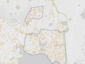
In 2021, Cape Cod Commission staff completed an update to the Cape Cod Pond and Lake Atlas and built an online Pond Viewer as a companion tool to the Updated Atlas. The Viewer and Atlas may be used together to explore Cape Cod’s ponds, ecology, and the challenges they face. The Water Quality Data Portal (WQDP), a tool initially built to store, manage, and provide access to marine water quality monitoring data, will also contain water quality data for freshwater ponds. As monitoring of ponds expands to include more ponds and test for more parameters through planned future initiatives, the WQDP will be enhanced to improve pond management decision-making.
Resources
Click the images below to access the resources.


Contact
-
Tim Pasakarnistim.pasakarnis@capecodcommission.org
-
Tara Nye Lewistara.lewis@capecodcommission.org